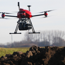
The LiDAR technology survey is a reliable and efficient solution, highly appreciated by the Geomatics experts worldwide. Its multi-echo capability allows to scan even through vegetation.
Heavy and large sensors in their first versions, today’s LiDAR have been considerably miniaturized to become ultra-light, accurate and compact sensors that can be integrated into drones.
The all-in-one aerial LiDAR
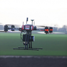
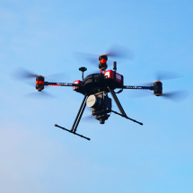
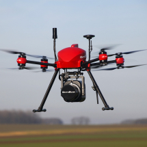
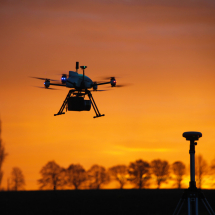
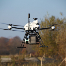
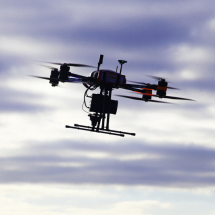
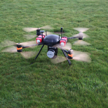
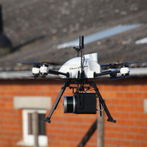
Thanks to its technical characteristics and performance, the OnyxScan aerial LiDAR drone is the ultimate solution for topographical and other low-altitude surveys for any type of mission requiring efficiency, precision and speed of implementation.
Nowadays, this technology is being operated in numerous fields such as archaeology, mine and quarry monitoring, forest management, mapping, environmental monitoring, etc.
OnyxScan is a compact, highly-automated and efficient aerial LiDAR drone designed to meet the challenges users face in the field on a daily basis. Embedded intelligence offers many security and automation features that allow professionals to focus on their expertise. The intuitive mission planning and post-processing software enables to generate LAS files easily and in a very short time-frame.

Designed for off-road missions
The aircraft platform is foldable and compact, thus enabling to be easily carried in its hard handy suitcase. It runs with a single universal battery, which greatly simplifies operations on the field.
In addition of being a smart-sized system, the OnyxScan drone is ultra-light with a Take-Off Weight of only 5.6 kg. This particularity makes it possible to operate both in urban areas and in hard-to-reach zones.

Lightweight and versatile
In addition to the perfect integration of the LiDAR to the drone, the payload of the aircraft is foreseen to be replaced by another sensor such as an RGB camera, a thermal sensor, a video camera or any other system whose weight and dimensions correspond to the UAVs specifications.
This is the best way to sustain your investment using a drone capable of carrying multiple sensors, reducing the costs and simplifying the operational procedures by standardizing them.
The same is true for the learning time of the users which will be shorter as they will have a single aircraft to fly for several payloads. Similarly, the batteries management and storage is economically more interesting and easier for a single drone.
OnyxScan LiDAR drone is manufactured in Belgium and meets the European sky aircraft operating requirements
.
